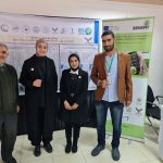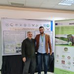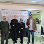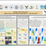


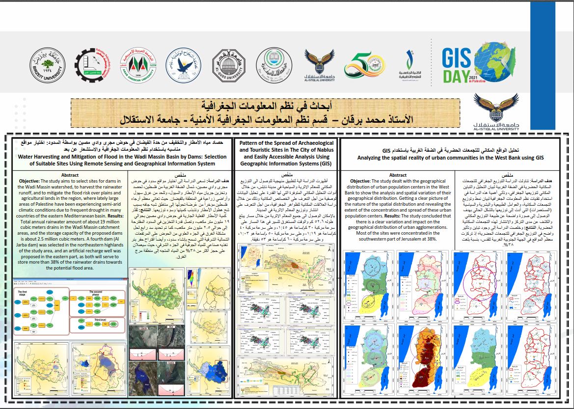
Mr. Mohamed Burgan from Istiqlal University and Dr. Talaat Al-Tamimi from Hebron University represented the Benefit Project with the participation of Geographic Information Systems Day. Due to the need of the local community to improve the best in the spatial development and the use of modern technology. Mr. Mohamed Burgan participated in the World GIS Day event in Palestine, which is implemented by the University College of Applied Sciences in Gaza in partnership with the University of Hebron in the West Bank, through a map exhibition. Where He presented a Poster talking about the most important developments in GIS technology. He explained the use of GIS in measuring the spatial reality of urban cities in the West Bank and explained the mechanism for solving the problem of water drowning in the lands of the’ Sahl Sanur” in Palestine using GIS systems that negatively affect
agricultural production in the region.
Dr. Talaat Al-Tamimi also presented a poster about the Benefit project to raise awareness about precision agriculture in Palestine